Hurricane/Tropical Data
This page provides access to a wealth of hurricane information including charts on the track of the storm plus a text based table of tracking information. The table includes position in latitude and longitude, maximum sustained winds in knots, and central pressure in millibars.
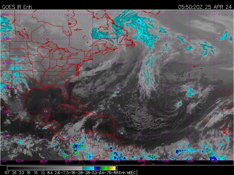
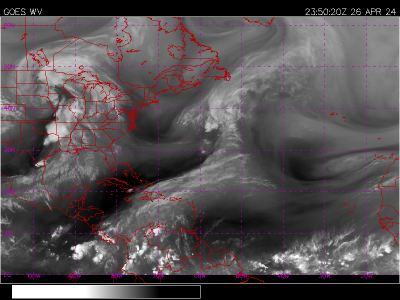
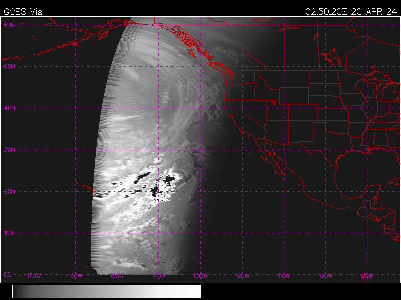
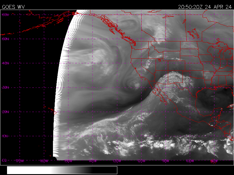
Current Tropical Satellite Images
| Atlantic | Visible | Infrared | Water Vapor |
| East Pacific | Visible | Infrared | Water Vapor |
Aviation Model Forecasts for the Atlantic
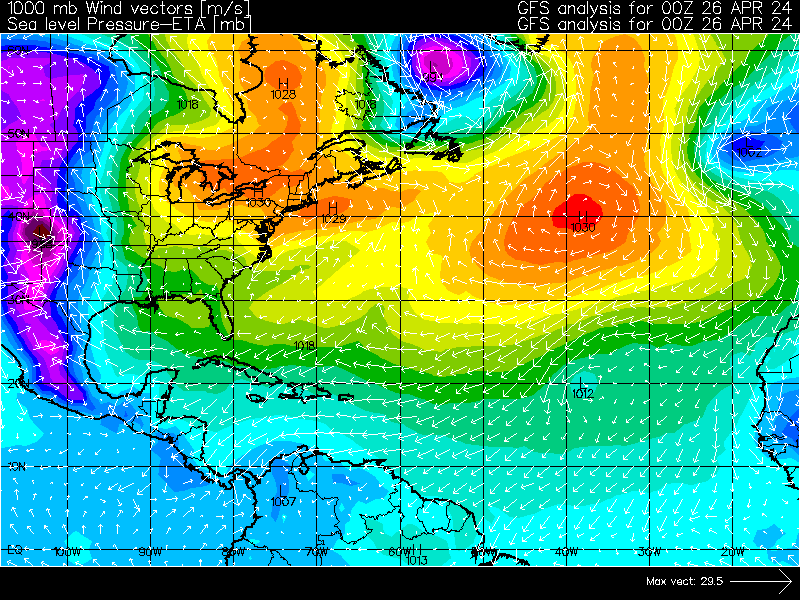
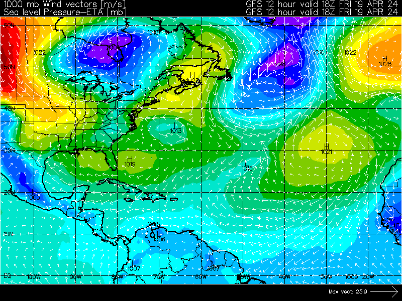
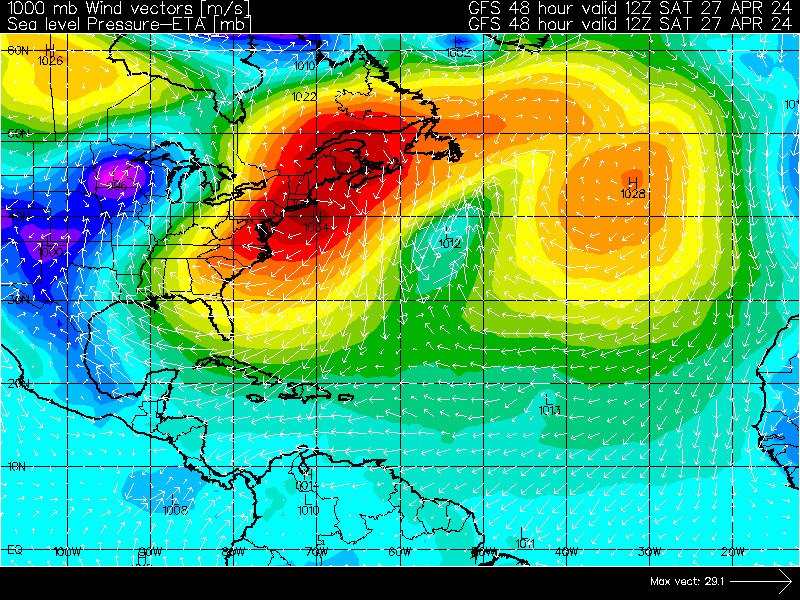
| Sea Level Pressure | Analysis | 12 hour | 24 hour | 36 hour | 48 hour |
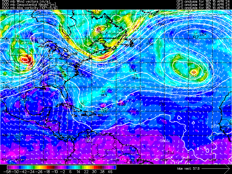
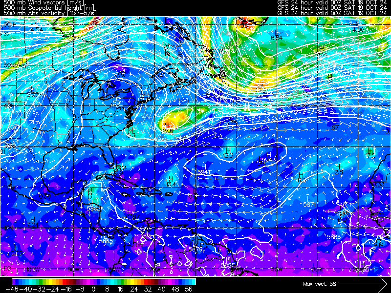
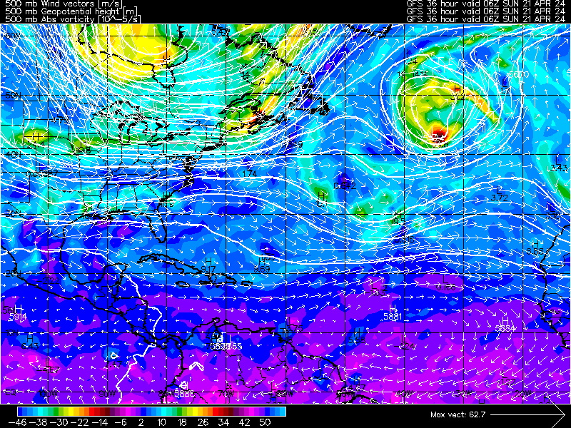
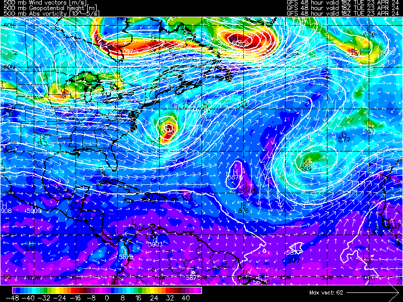
| 500 mb Vorticity | Analysis | 12 hour | 24 hour | 36 hour | 48 hour |
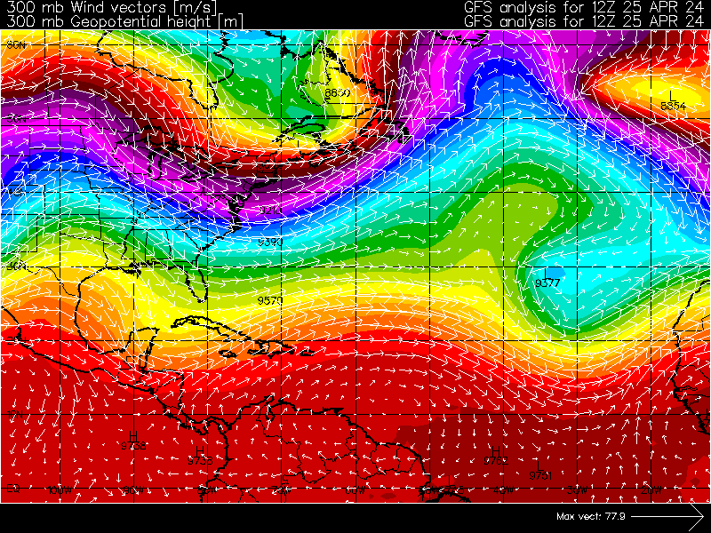
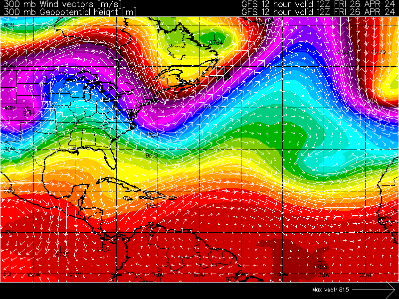
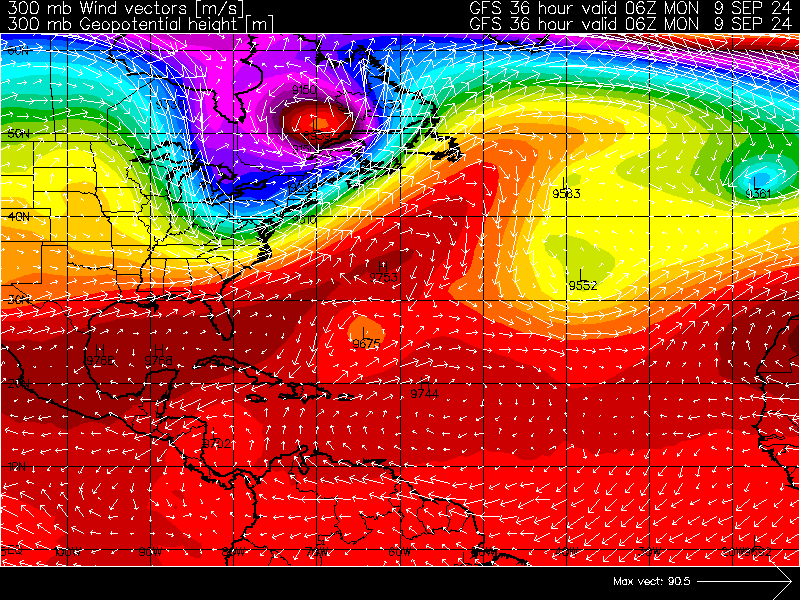
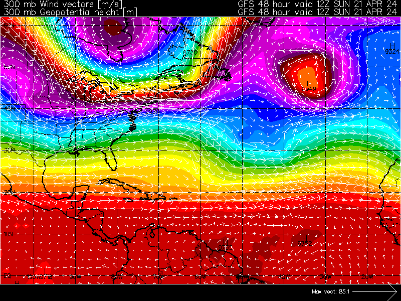
| 300 mb Height | Analysis | 12 hour | 24 hour | 36 hour | 48 hour |
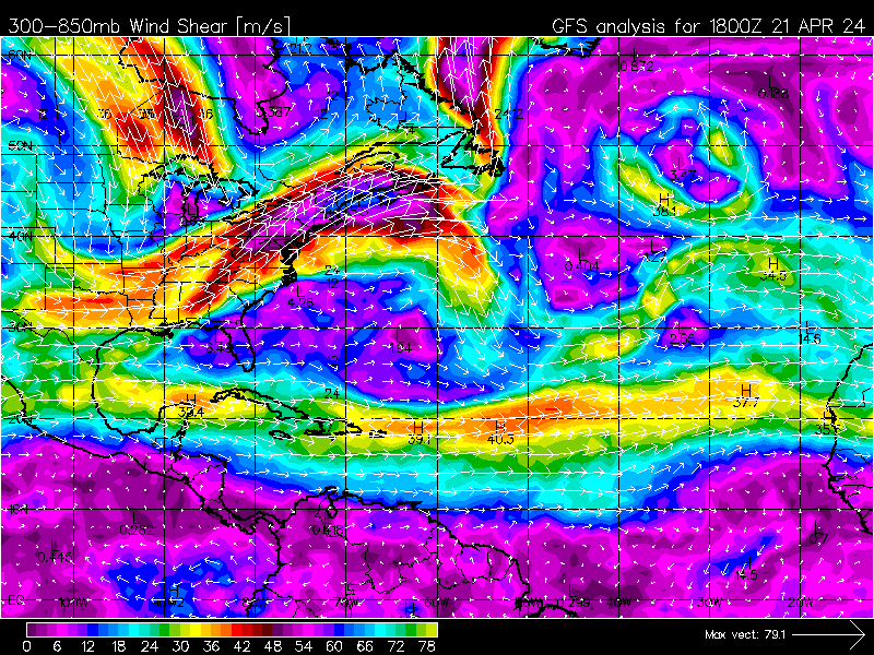
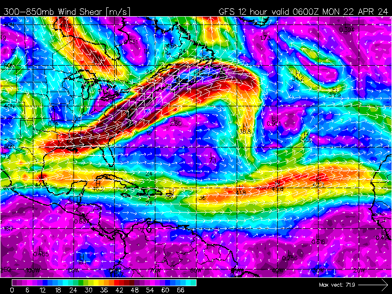
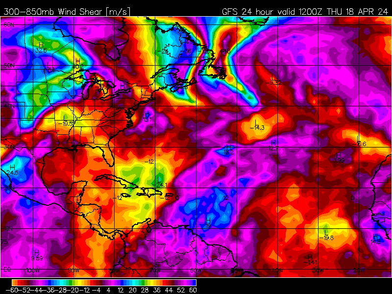
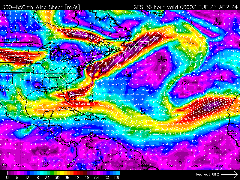
| 300-850mb Shear Magnitude | Analysis | 12 hour | 24 hour | 36 hour | 48 hour |
The chart color codes intensity (category based on Saffir-Simpson scale):
Type |
Category |
Pressure (mb) |
Winds (knots) |
Winds (mph) |
Line Color |
| Depression | TD | ----- | < 34 | < 39 | Green |
| Tropical Storm | TS | ----- | 34-63 | 39-73 | Yellow |
| Hurricane | 1 | > 980 | 64-82 | 74-95 | Red |
| Hurricane | 2 | 965-980 | 83-95 | 96-110 | Light Red |
| Hurricane | 3 | 945-965 | 96-113 | 111-130 | Magenta |
| Hurricane | 4 | 920-945 | 114-135 | 131-155 | Light Magenta |
| Hurricane | 5 | < 920 | >135 | >155 | White |
NOTE:Pressures are in millibars and winds are in knots where one knot is equal to 1.15 mph.